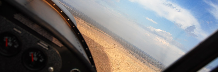
Aerial geophysical surveys include such methods as high-precision aeromagnetic and spectrometric surveys of extended linear objects and territories.
Aeromagnetic Survey
Magnetic surveys in combination with other aerial survey methods allow for accomplishing of a wide range of tasks:
- locate solid mineral deposits
- locate hydrocarbon reserves in the subsurface
- aerial monitoring of objects and sites
- survey and mapping of underlying geological structures
The proposed method of airborne geophysical survey provides for detailed survey on a scale of 1:5,000 or larger in order to complete the following tasks at the prospecting and exploration stages of geological analysis:
- lithology of low magnetic sedimentary, igneous-sedimentary, volcanic, plutonic and metamorphic rocks
- survey of hydrothermally altered rocks of igneous-sedimentary, sedimentary (carbonate and terrigene), and magmatic (granitoid) formations that are spatially or genetically linked to deposits of copper, complex ores, gold, tin, tungsten (wolfram), rare metals, bauxite and other ore minerals
- direct search for low magnetic iron ores (hematite, martite, sideritic, goethite, and others), bauxites, diamondiferous kimberlites, sedimentary manganese ore, non-ferrous and rare metals sulfides, and titanium magnetite, ilmenite, gold-bearing, tin-bearing and tungsten placers
High-precision detailed magnetic data provide solutions for hydrogeological, geotechnical, archaeological and special surveys.
Gamma-Ray Spectrometric Survey
Airborne gamma-ray spectrometric surveys help accomplish the following tasks:
- map the distribution of naturally occurring and artificial radionuclides and the radiation dose rate
- map near-surface geological structures
- prospect for radioactive deposits
- study the nature and magnitude of superposition processes and prospect for hydrothermal mineral deposits
- prospect for deposits of diamonds, gold, and rare metals
- conduct surveys of oil and gas bearing areas
- carry out remote sensing and environmental monitoring
The airborne geophysical system provides for up to 100 measurements per second. The high precision of gauging and accurate results are achieved through the ability of the ultralight aircraft of SP-30 type (manufactured by the engineering center “Spektr-Aero”) to fly at the height of five meters above the ground. In cooperation with the State Scientific Center “Yuzhmorgeologiya”, it has been verified that this type of aircraft equipped with a compact geophysical measuring unit provides for high precision and superb efficacy both in prospecting mineral resources and in searching small metal objects weighing over 1 kg under the surface (for example, pipes, wires, unexploded ordnance, etc.).


