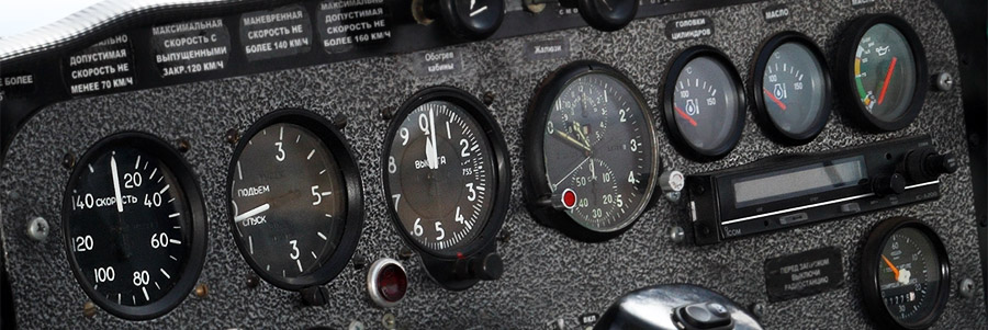
Aerial geophysical survey techniques that emerged in mid-20th century and are based on detecting and measuring the Earth’s gamma-radiation and parameters of its magnetic, gravitational and electric field ensure “deeper” study of the Earth’s crust in contrast to other methods of research. The techniques include aerial magnetic and radiometric surveys.
Aeromagnetic surveys aim to measure magnetic field variations using special equipment – an airborne magnetometer. The collected data are analyzed to determine the structure of the magnetic field and match it to the geology of the area in order to detect mineral deposits(especially those that create magnetic anomalies) and their key characteristics.
Aerial radiometric surveys focus on recording the intensity of the natural gamma-radiation of the Earth’s surface. Airborne gamma-ray spectrometers help conduct prospecting surveys for radioactive elements (like uranium, thorium, etc.) in the target areas and identify the spectral composition of the radiation, which is important for regional geological mapping.
The airborne gamma-ray spectrometer analyzes and records the gamma spectrum within 0.05-5 MeV energy ranges. The instrument is fully automated and stabilized, and does not require any radioactive calibration standards during work. Scintillating crystals (NaI) of 4 to 16 liters are used depending on the terrain and flight conditions.
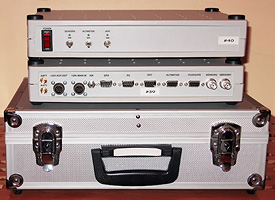
The Aerial Geophysical Equipment
1. High-precision onboard aerial Scintrex caesium magnetometer CS-3; sensitivity: 0.001 nT, sample interval: 1 to 100 readings per second
2. Onboard system for acquiring and recording data from all units of the geophysical equipment
3. Navigational equipment with differential correction and GPS post-processing
4. Base magnetic station that includes a high-precision magnetometer and a base GPS receiver
5. Onboard aerial gamma-ray spectrometer; scintillating NaI crystals of 4 to 16 liters depending on the terrain and flight conditions
6. Data processing and interpreting with Geosoft Oasis montaj software.